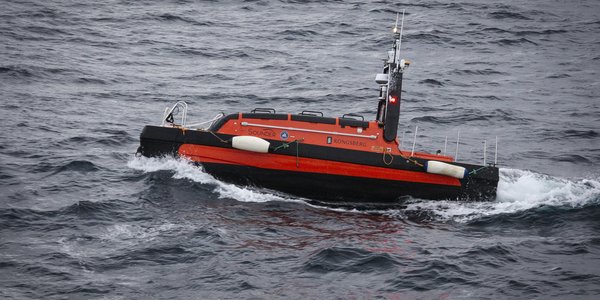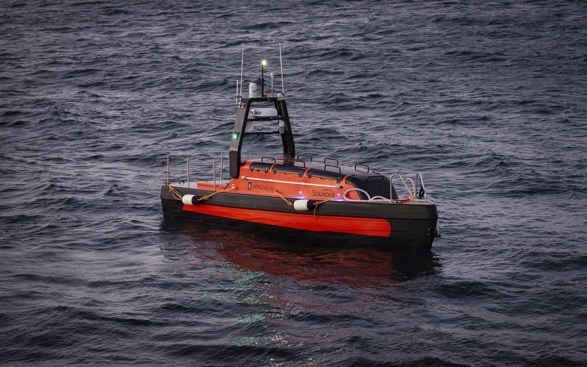
USV: MAREANO wants to accelerate the shift towards lower carbon emissions in seabed mapping. Use of USVs is one way to achieve this goal.
Photo: Geir Pedersen / Havforskningsinstituttet
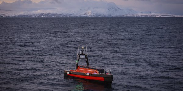
USV: MAREANO wants to accelerate the shift towards lower carbon emissions in seabed mapping. Use of USVs is one way to achieve this goal.
Photo: Geir Pedersen / HavforskningsinstituttetPublished: 28.01.2025 Updated: 29.01.2025
– In this procurement, we are seeking experience with USVs. Therefore, USV must be the platform used for the seabed mapping, says Helge Welde form the Norwegian Mapping Authority, Hydrographic Service.
The tender is published at Doffin and TED:
The deadline is 24 February 2025.
The contract has a value of 6.000.000 NOK, with the possibility of an option of up to 10.000.000 NOK in addition. In the tender MAREANO request a price per square kilometre, not a daily rate.
The current technical specification, the MAREANO standard for multibeam and sub-bottom profiler (SBP) data, is modified considering the use of USV. In addition to the possibility to use a wider range of echo sounders.
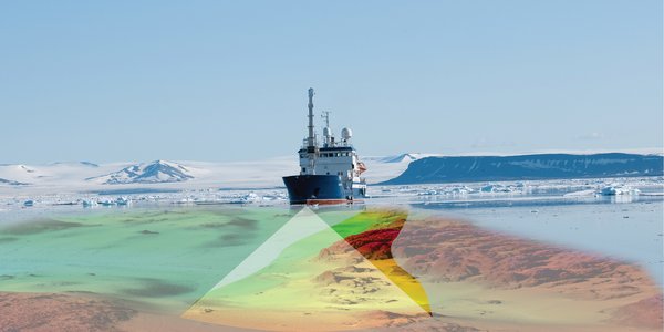
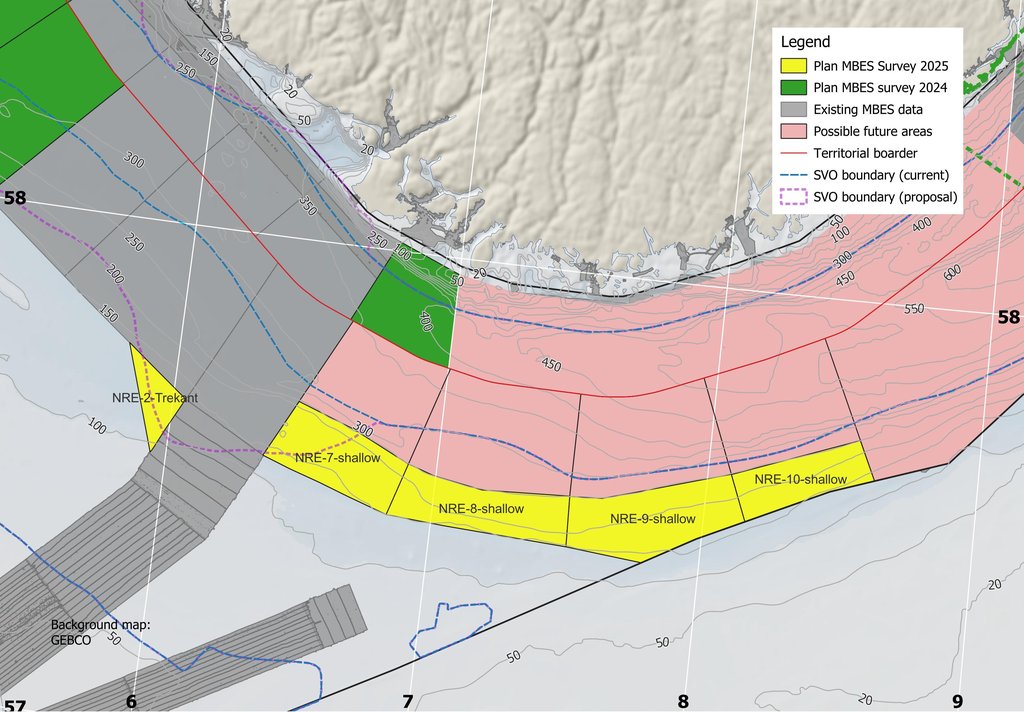
The survey areas in the North Sea are limited to areas shallower than 250 meters within the prioritized areas NRE-2 and NRE-7 blocks, as shown in the map illustration. As MAREANO does not have the sufficient understanding of the price level yet, three additional possible areas east of the NRE-7 block are included.
This tender process will help MAREANO to develop the specifications and award criteria for climate and environmental considerations used in future procurements.
– The MAREANO programme wants to accelerate the shift towards lower carbon emissions in seabed mapping. Use of USVs is one way to achieve this goal, says Helge Welde.
In January 2024, new regulations were introduced with the aim to reduce Norwegian procurements overall climate footprint and environmental impact. Climate and environmental considerations are now given a higher weight in public procurements.
How the MAREANO programme will arrange the tender for seabed mapping in 2026 has not been decided:
– We will know more after the evaluation of the experiences with this year’s USV-based survey. It is natural to assume that traditional survey vessels with crew will be relevant in future surveys, especially considering that MAREANO also needs to map inaccessible areas, such as the deep sea in the Norwegian Sea, says Helge Welde.