Contact
Biological mapping
Børge Holte
+47 77 60 97 53
Geological mapping
Terje Thorsnes
+47 73 90 42 75
Bathymetry
Hanne Hodnesdal
+47 51 85 88 23
Information officer
Beate Hoddevik Sunnset
+47 55 23 85 16
Published: 09.08.2010 Updated: 18.08.2022
Scientists on board include geologists, biologists, chemists, oceanographers and data engineers from the Geological Survey of Norway and the Institute of Marine Research.
We have been lucky with the weather throughout the cruise so far, with generally calm seas making for favourable working conditions and good spirits. We have also been fortunate with the scientific equipment, with virtually no technical hitches so far. The scientific progress is made easy by the experienced crew on board who take care of the ship and deck operations. Its not always easy to tow a high resolution video rig like our CAMPOD at 1.5 m over the seabed at 0.5 knots but they make it look effortless, even with difficult currents, winds and waves to cope with.
We are now working in an area called Troms III in the southern Barents Sea off northern Norway. While the first leg of the cruise investigated the central part of this area (and Nordkapp bank further east) in this second leg we have concentrated on the area on and around Teistengrunnen (see map) in the north, the shelf edge in the west, and will finish up on Fugløybanken in the south. Up until the time of writing (Sunday evening, 8th August) we have we have completed 20 video stations of which 4 are so called full stations where we also use MAREANOs full suite of sampling equipment including grabs, cores, trawls and sleds. The depth of waters we are working in ranges from around 250 to nearly 1000 m.
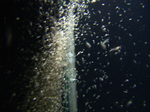
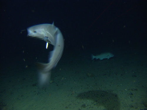
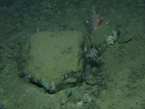
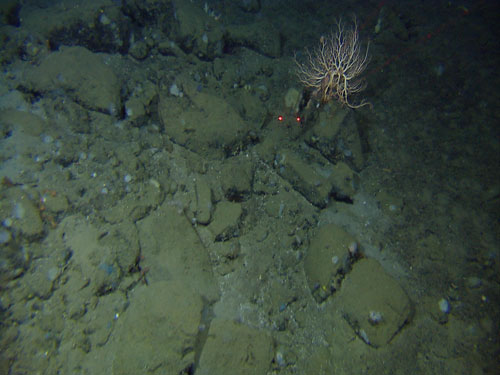
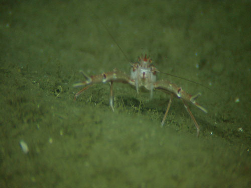
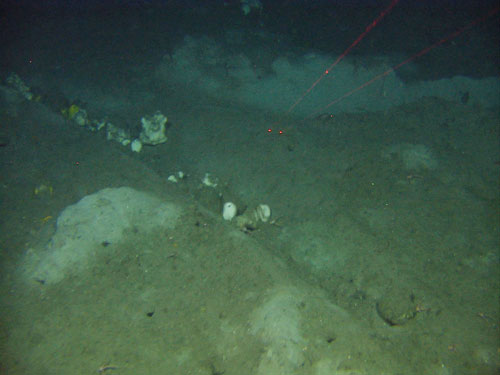
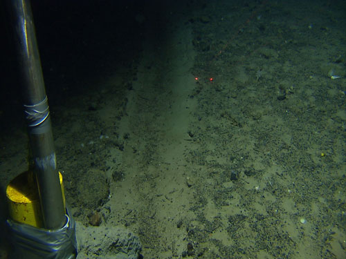
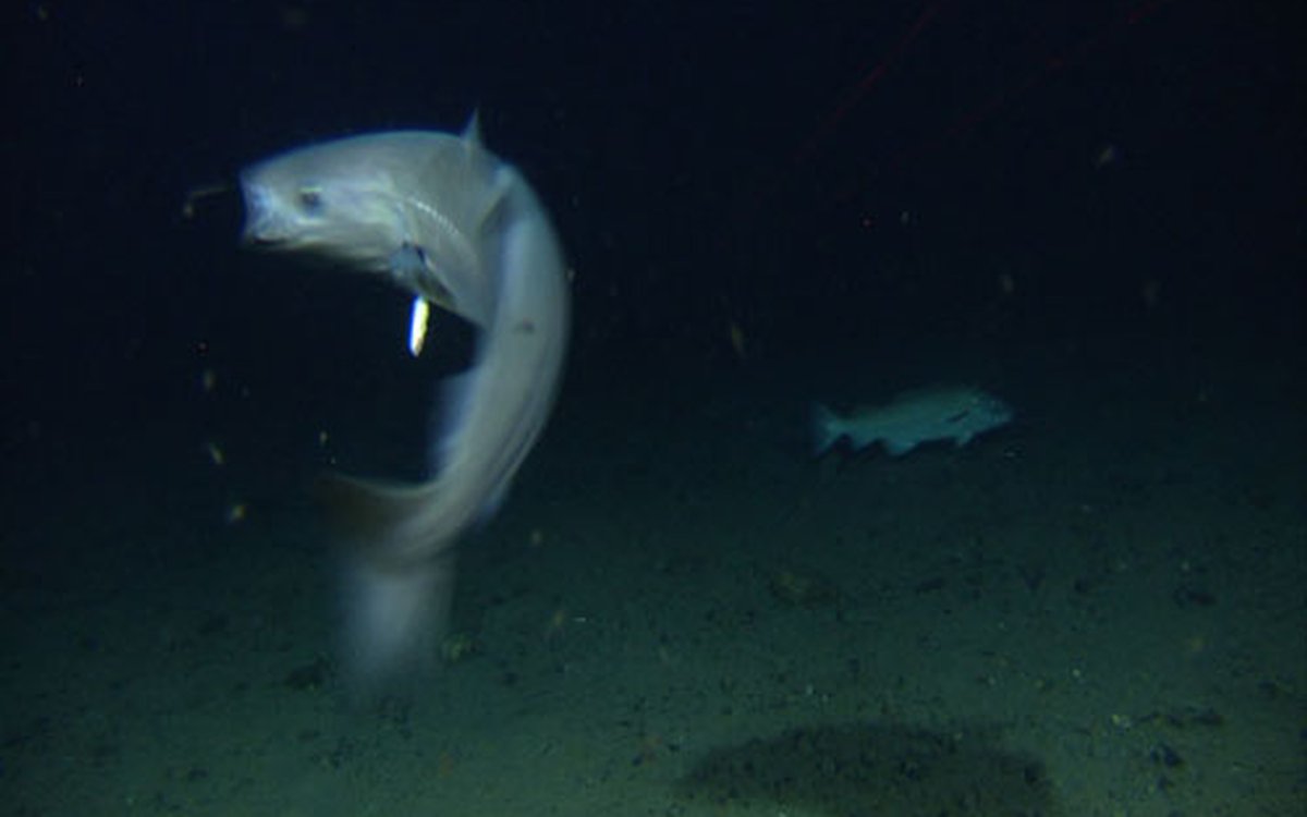
Some tasters of our video observations so far are shown here.
(other images and news from this cruise can be found on the Norwegian pages)
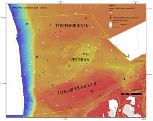
The Troms III area offshore Troms (northern Norway) being studied during the MAREANO summer cruise 2010. This map shows planned video and full stations.