Contact
Biological mapping
Børge Holte
+47 77 60 97 53
Geological mapping
Terje Thorsnes
+47 73 90 42 75
Bathymetry
Hanne Hodnesdal
+47 51 85 88 23
Information officer
Beate Hoddevik Sunnset
+47 55 23 85 16
Published: 16.01.2012 Updated: 03.10.2022
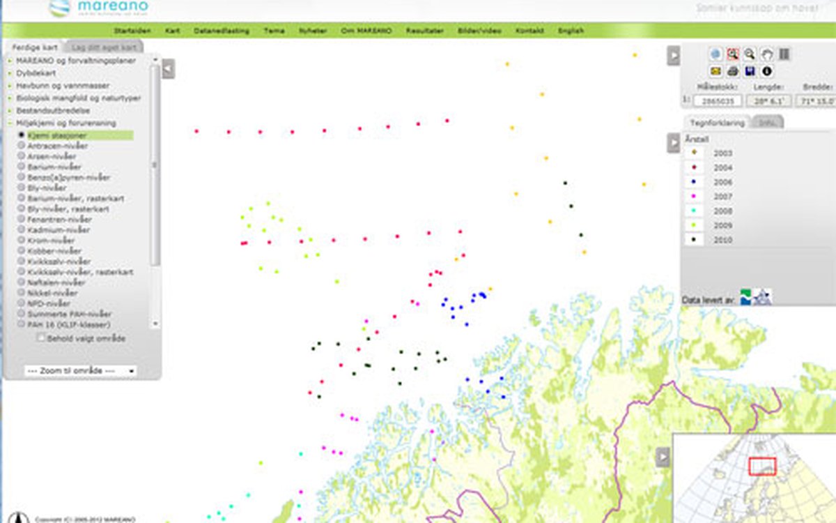
The samples were collected during two cruises in July-August and September-October 2010. Three sampling stations were in the so-called Finnmark transect north of the coast of Finnmark, while the rest of the samples were from the areas of Troms III west of Tromsø, and Nordland VI south-west of Lofoten Islands. The sediments were analysed for polycyclic aromatic hydrocarbons (PAH) and total hydrocarbon contents (THC). Both groups of compounds were found only in low concentrations. For the surface samples, which are shown in the maps, all the results for the indicator group of compounds, PAH16, are in Class I (background levels) according to the scale of environmental condition developed by the Norwegian Climate and Pollution Agency (Klif). The levels in deeper sediment layers show a moderate increase at some locations, but with no signs of any significant contamination.