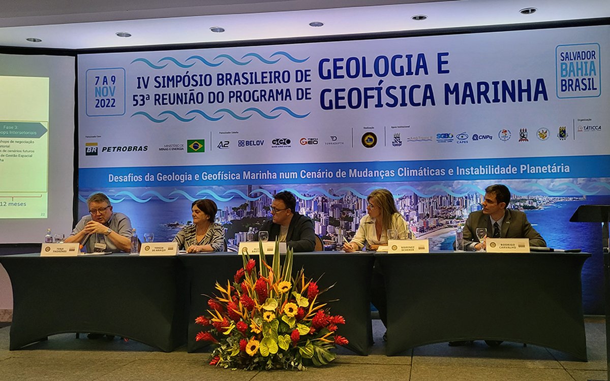
From the panel discussion: Terje Thorsnes (left) spoke briefly about using artificial intelligence to classify sediments, seafloor reflectivity, modelling of organic carbon and the pilot project Marine base maps in the coastal zone. Photo: PGGM-Brazil
MAREANO presented in Brazil
The activities of the MAREANO mapping programme were recently presented at a conference in the Brazilian city of Salvador. As part of developing a new, modern programme for marine spatial management, experts in Brazil want to learn from international actors.
Published: 08.11.2022Updated: 29.11.2022Author: Gudmund Løvø, Geological Survey of Norway
"The invitation from PGGM signals that the MAREANO programme is seen as important and that it has received a high international status," says Terje Thorsnes, a researcher at the Geological Survey of Norway.
Area management plans
Early in November, Thorsnes presented information about MAREANO and participated in a panel discussion at a marine geology and geophysics symposium. In addition, he participated in a meeting with key collaborators in the network for the Brazilian Programme for Marine Geology and Geophysics (PGGM).
Terje Thorsnes and MAREANO were invited to the conference by Professor Alex C. Bastos, a well-known oceanography researcher from Espírito Santo University (UFES). Bastor wanted conference participants to hear from Thornes about how Norway managed its marine areas and MAREANO’s role in this work.
Closing knowledge gaps
In general terms, Thorsnes explained that marine area management considers the enterprise interests, resources, and challenges of the changing climate and environment. He also drew attention to industrial sector interests (oil and gas, transport and fisheries), pointing out that conflicts in interest can be identified during planning.
"However, marine management planning will also bring to light knowledge gaps. This is where the MAREANO mapping programme comes in. I presented information about our mapping methods, our mapping and data services, and the technology we use," reports Thorsnes.
"Autonomous underwater vehicles (AUVs), unmanned surface vessels (USVs), artificial intelligence and machine learning are some of the topics I presented. Finally, I informed participants that the FAIR Principles guided MAREANO: all data should be Findable, Accessible, Interoperable and Reusable.”
UN commitment
The four-day conference theme was "The challenges of marine geology and geophysics in a scenario of climate change and geopolitical instability." The participants reviewed new institutional collaborations, developed new action plans and proposed future projects related to Brazil's marine spatial planning and management.
19 percent of the South American country's gross domestic product (GDP) is from the ocean sector. Brazil's ocean space, often referred to as the "Blue Amazon", covers 5.7 million square kilometres and is thus three times larger than Norway's offshore area. During the UN Ocean Conference in 2017, Brazil committed to implementing marine spatial planning in its seas by 2030.
The conference gathered 200 participants and was held in the state capital Salvador with three million inhabitants in Bahia, a state in northeast Brasil.
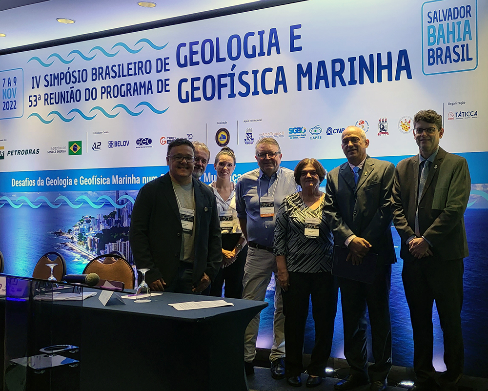
Terje Thorsnes (centre) of the MAREANO programme is shown here with the conference committee before the start of the conference. Photo: PGGM