Goto main content

News 2019

Fig 1 IMG 9024

Seabed mapping in the Norwegian Arctic

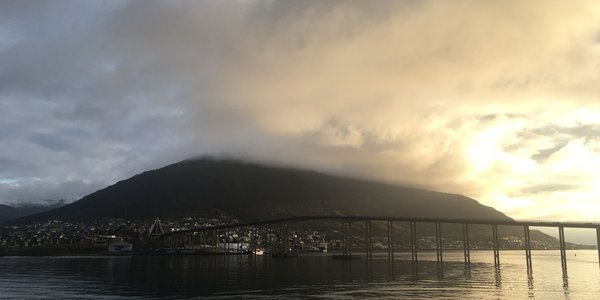
Thursday afternoon, on the 10th of October, RV G.O. Sars left Tromsø harbour, heading for Kvitøyrenna, a bathymetric trough located between the islands Storøya and Kvitøya within the eastern part of the Svalbard archipelago. It is a long way from Tromsø to Kvitøya, and the transit was planned to take two and a half day. However, the trip took even longer when a northerly wind picked up.

valerie fig3c

Shallow, but beautiful

MAREANO is currently on cruise gathering visual and physical seabed samples from several areas around the Svalbard archipelago in the Norwegian Arctic. At the moment we are back in outer Kongsfjordrenna trough, offshore of northwest Svalbard, after a couple of days working closer to shore in Kongsfjorden due to poor weather. Here we tell you a little bit about what we have seen here.

e Umbellula

New general biotope map for the Barents Sea

Mareano has now published an updated general biotope map for the Barents Sea. This map more than doubles the area for which biotopes distribution has been predicted in this area, and provides the first indication from Mareano results of distinctive habitats occurring in Arctic waters and north of the Polar Front.

bilde2

MAREANO side event at Our Ocean 2019 Thursday 24 October 7.30-8.30 AM

The Our Ocean 2019 conference is being held in Oslo 23-24 October 2019. The conference brings together leaders from governments, businesses, civil society and research institutions to share their experience, identify solutions and commit to action for a clean, healthy and productive ocean. Several side events are open to the public, including our event named “MAREANO – A Unique seabed mapping programme”.

Alle stasjoner Mareano 2010106 engelsk

MAREANO cruise summary: To Bjørnøya, beyond, and beneath!

Saturday 6th April, a crisp, bright morning in Tromsø and 15 scientists and engineers from the Institute of Marine Research (IMR) and the Geological Survey of Norway (NGU) join the crew onboard G.O. Sars and set sail for Bjørnøya (Bear Island), where we will survey an area of around 4 500 km2 extending as far as 75°N in the western Barents Sea and Norwegian Sea.