Goto main content
Reke og risengrynkorall

The Sea in Maps and Pictures

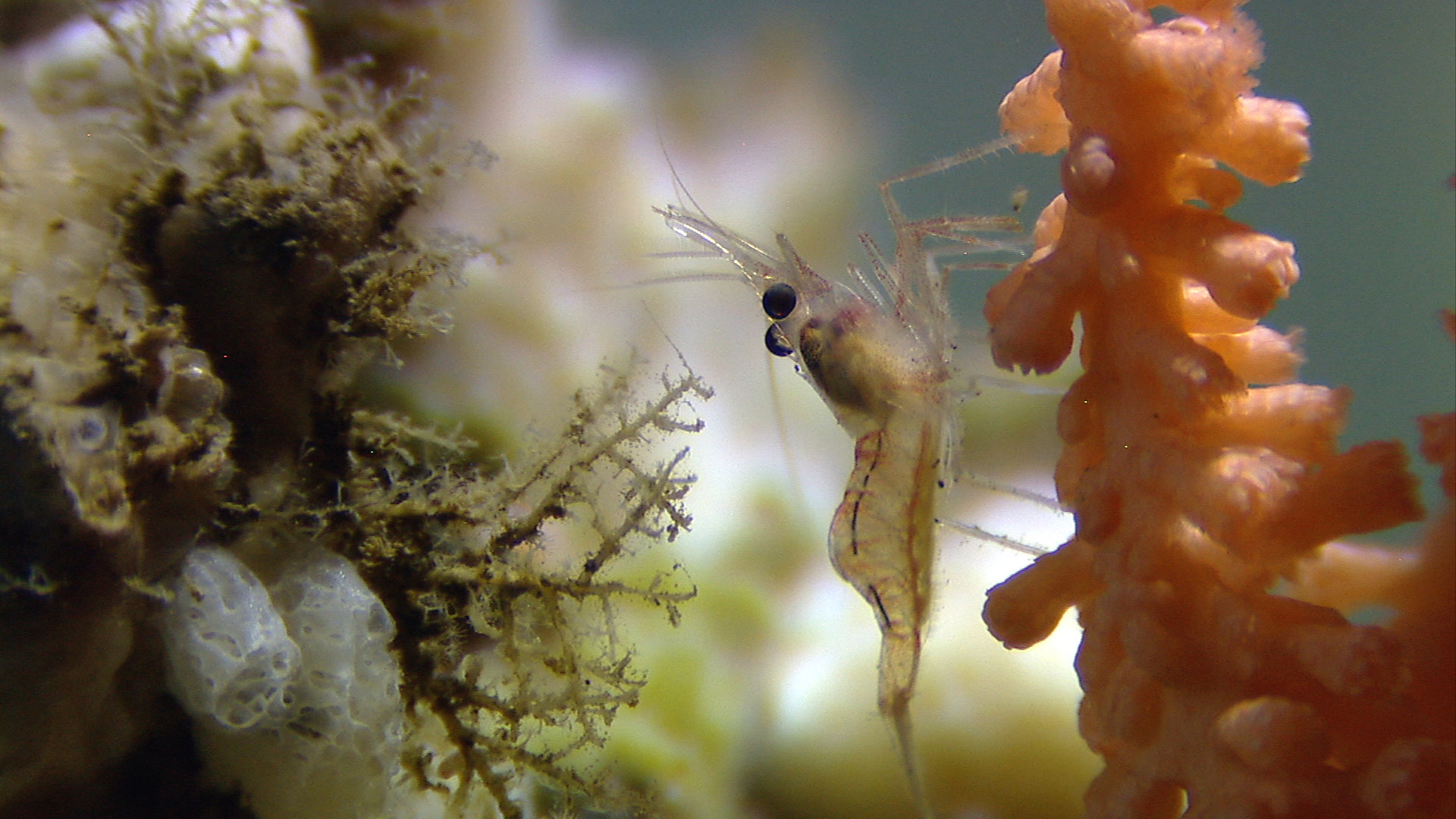
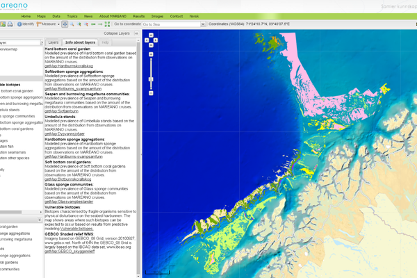
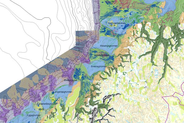
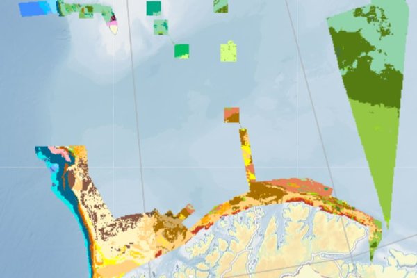
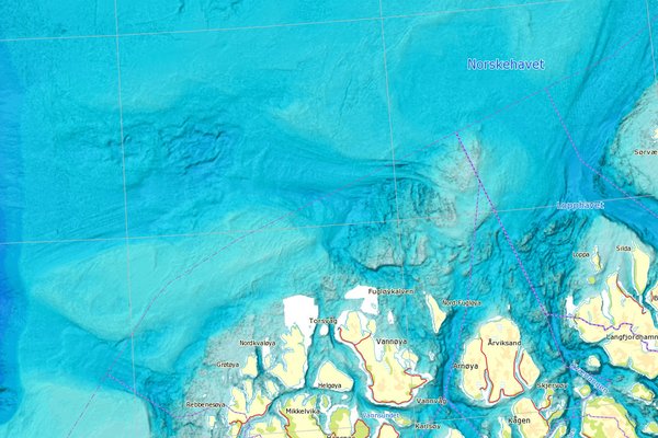
MAREANO maps depth and topography, sediment composition, contaminants, biotopes and habitats in Norwegian waters.

News

News

Digital terrain model of the sea bed in the North Sea. Source: The Norwegian Mapping Authority / MAREANO

Bathymetry data from Sørlig Nordsjø 2

16.01.2024

Terrain models from the offshore wind area Sørlig Nordsjø 2, both map services and datasets, are published in the Norwegian Mapping Authority's services.

Parts of the wreck at some distance.

Unknown submarine wreck from World War II discovered

16.10.2023

After more than 80 years on the seabed, what is probably the wreckage of the British submarine HMS Thistle has been discovered outside Rogaland, Norway.

Gass Fig1 nett

3.3 kilometer high natural gas column

18.08.2023

Possibly the world's tallest gas column is flowing from Norway's deepest point. From an ocean depth of 3,900 meters in the Molloydypet west of Svalbard, the gas rises a full 3.3 kilometers upwards in the water.